 Lancaster, OH, USA
 (740) 654-5809


New online map provides status updates for postal facilities
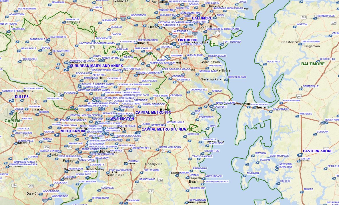 The United States Postal Service’s new national map is now online. The interactive map provides real time data for postal facilities across the United States. Weather, road closures and other items pertinent to mailing operations are also viewable on the map.
The mapping interface provides mailers a live look at potential items that may have an effect on mail delivery. You can view the live map here.